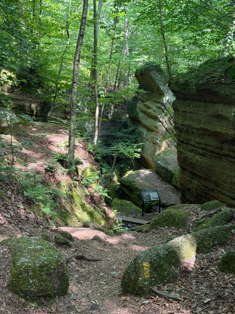
So it seems that this area of Ohio is just rife with these sandstone and shale formations that everyone here call ledges. Today, I went to Nelson-Kennedy Ledges State Park.
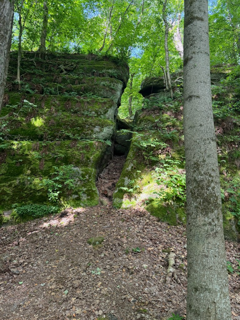
The park follows a line of these ledges stretching for a couple miles or so. From the lower side, it’s a sheer rock wall, 50 to 60 feet tall in places, clearly showing the strata making up the wall, with the sandstone conglomerate on top and shale underneath.
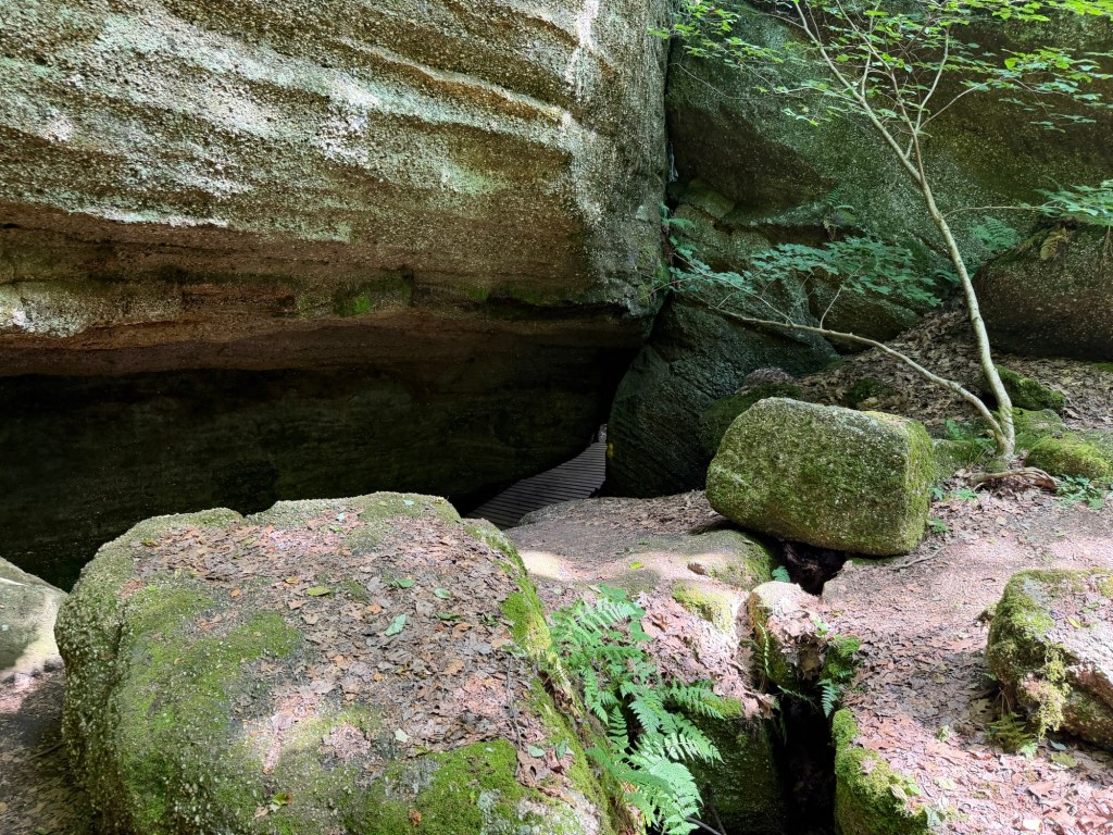
As water seeps through the sandstone, it cracks and then the softer, weaker shale underneath erodes, allowing huge “slump blocks” to break off and begin to slide downhill. This makes an enormous network of cracks and crevices, working in and out along the cliff edge.
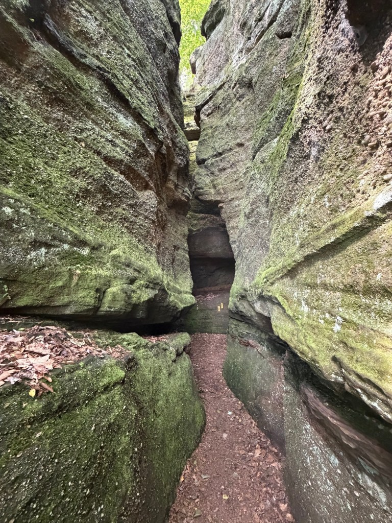
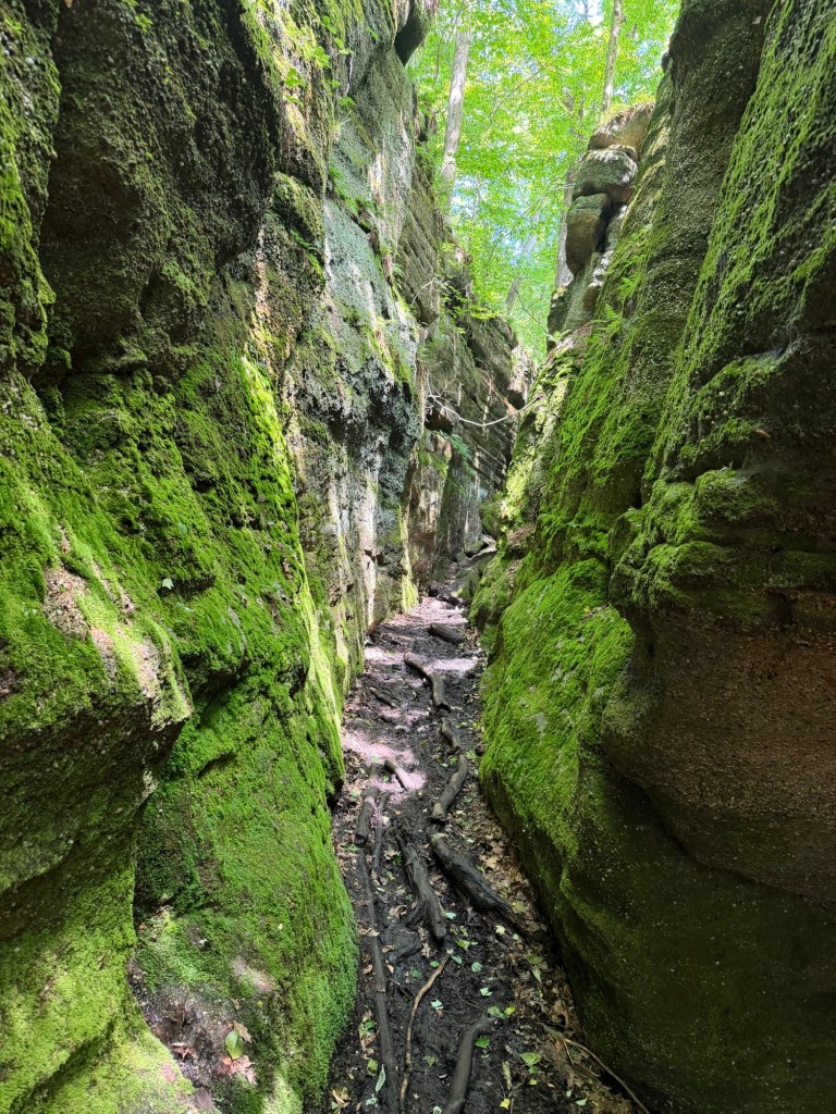
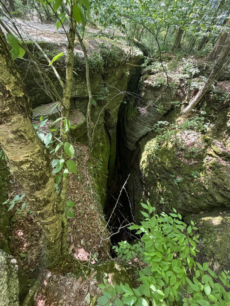
With names like Devil’s Hole, and Devil’s Icebox, The Squeeze, The Narrows, Dwarf’s Pass and Old Maid’s Kitchen, the various trails snake in and through all the cracks and crevices, sometimes above the cliff and sometimes below.
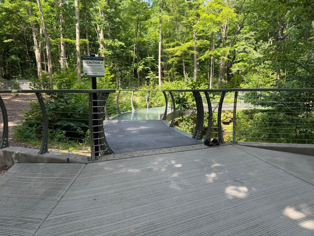
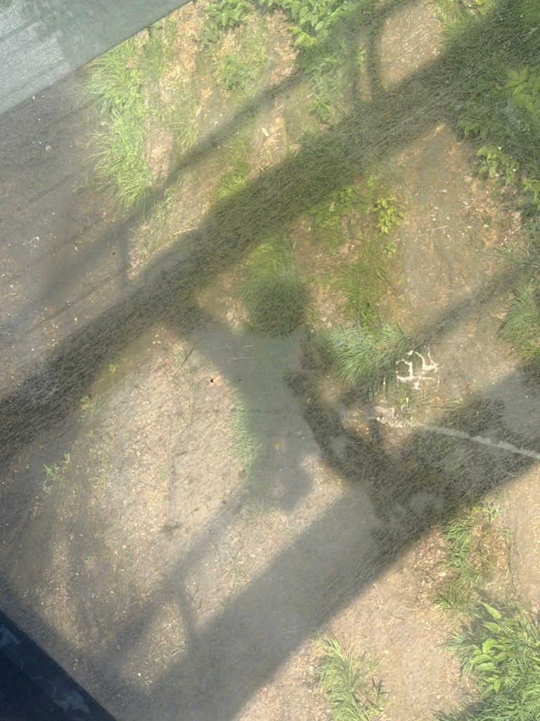
In one place, a glass-bottom bridge was built over a waterfall.
As I walked through the park, about the only wildlife I saw were the squirrels, but Oh, What Squirrels Are These? 😳
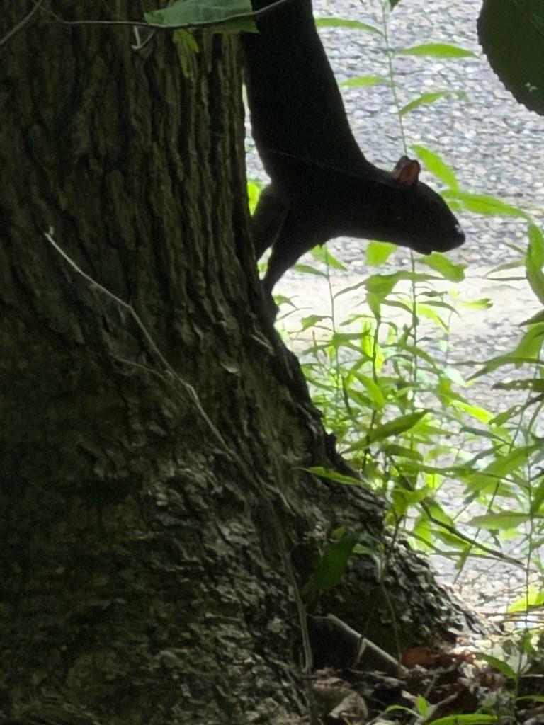
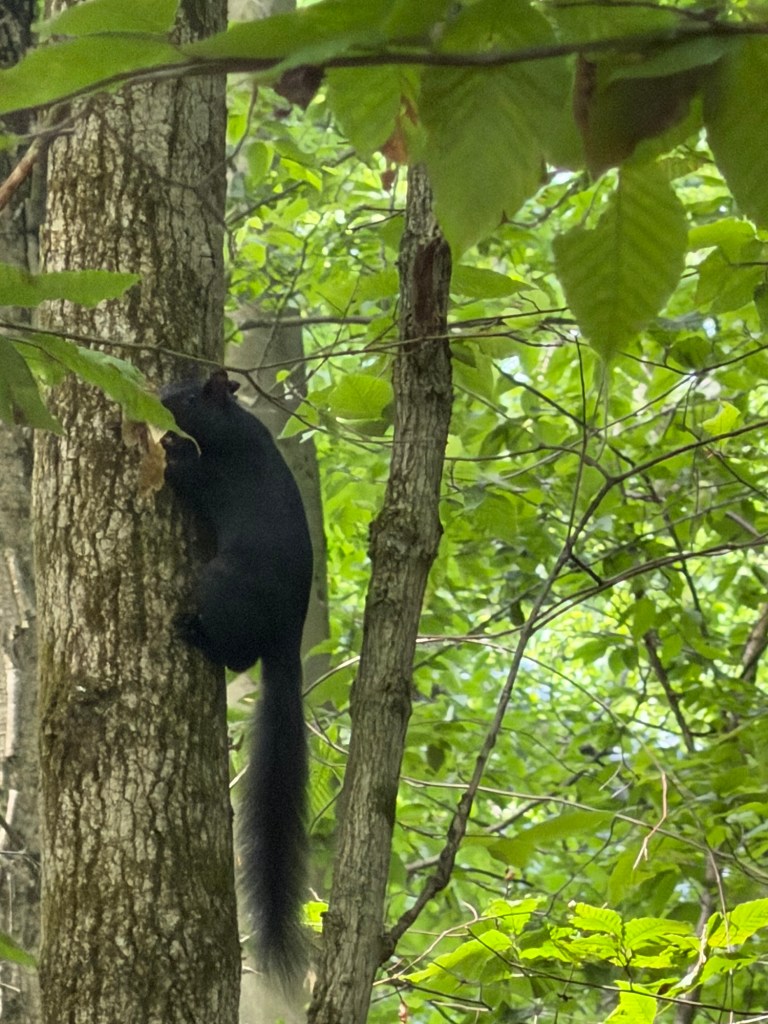
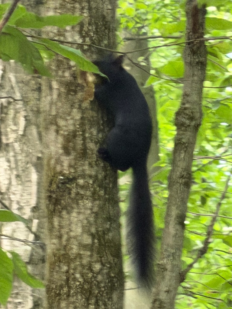
The freaky black squirrels were all over this park!
I guess that goes with all the Devil names. 😱

Leave a comment